Kesten Switzerland
- start: Parking lot at the Kesten Sauerbrunnen
- destination: Parking lot at the Kesten Sauerbrunnen
- easy
- 3,85 km
- 1 hour 10 minutes
- 85 m
- 191 m
- 119 m
- 100 / 100
- 20 / 100
A scenic path through the Kesten vineyards with a nice resting spot at the Sauerbrunnen and footbath.
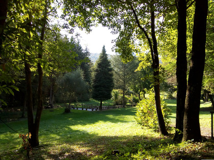
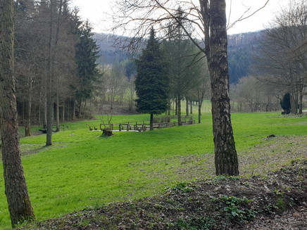
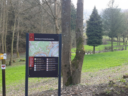
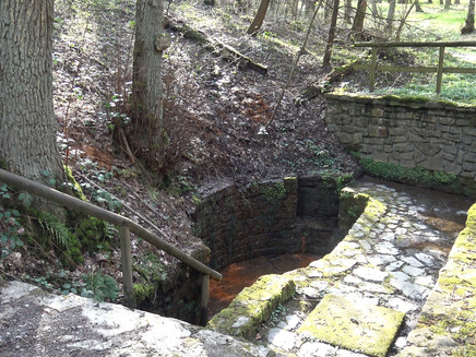
The hiking trail starts in the romantic wine village of Kesten, about 8 km from Bernkastel-Kues. Many beautiful, lovingly restored half-timbered houses characterize the historic town center, which is surrounded by steep vineyards. The Moselle municipality is known for its magnificent Sauerbrunnen, from which Julius Caesar is said to have already drunk. Today, a footbath and rest areas are also located nearby.
Insights into the hiking tour:
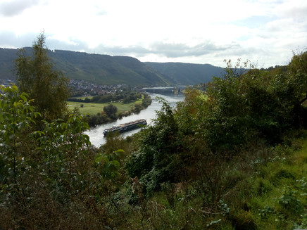
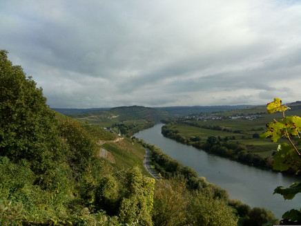
A short and also easy hike, if it weren't for the steep short ascent through an abandoned vineyard at the end of the route. But this way you at least get to know the efforts required to manage the steep-slope vineyards at the Moselle. The length of the route is about 4 kilometers with mostly unobstructed views of the Moselle and the ships passing on the river.
Impressions
General information
Directions
The route starts at the Sauerbrunnen in Kesten, where on hot days a footbath invites you to cool your feet. Past the fountain, which was already known to the Romans, you walk a short stretch through the forest. This is followed by a longer section on asphalt through the Kesten vineyards. Since the vineyards face south, the hike can sometimes get very hot in summer. But there are always great views of the river, including the Wintrich Moselle lock. At the end of the route, the path lives up to its name. You zigzag up a steep vineyard path and slowly regain the elevation that was already reached at the beginning of the trail. The small park area around the Sauerbrunnen forms the destination of the short, approximately 4-kilometer route.
Safety Guidelines
No special safety instructions.
Equipment
Sturdy footwear and hiking provisions.
Tip
Make a stop at the footbath and refresh your feet in the cool water.
Getting there
In Bernkastel, cross the bridge to Kues, take a left at the roundabout. Continue straight ahead, follow the L47 along the Moselle. Kesten is reached in about 5 kilometers.
Parking
Parking lot at the Kesten Sauerbrunnen
Public transit
Bernkastel-Kues: Taxi Edringer: 06531 - 8149, Taxi Priwitzer: 06531 - 96970, Taxi Reitz: 06531 - 6455
Nearest/primary stop: Kesten K 134
Literature
All hiking trails in the Bernkastel-Kues holiday region can be found in the HikingGuide. This brochure is available at all tourist information offices in the holiday region. Online: Hiking guide
Maps
Hiking guide - the hiking guide in the Bernkastel-Kues holiday region. With description and map.
Additional Information
Bernkastel-Kues Holiday Region
Gestade 6
54470 Bernkastel-Kues
Tel. 06531/50019-0
www.bernkastel.de
info@bernkastel.de
Tourist Information Kesten
Moselstr. 2
54518 Kesten
Tel. 06535/949334
www.kesten-mosel.de
info@kesten-mosel.de
Pavings
- Hiking Trail (14%)
- Path (14%)
- Crushed Rock (69%)
- Unknown (4%)
Weather

This tour is presented by: Ferienland Bernkastel-Kues, Author: Claus Conrad
