Around the Riveristalsperre
- start: Parking at the Riveristalsperre, Staudammstraße in 54317 Riveris
- destination: Parking at the Riveristalsperre, Staudammstraße in 54317 Riveris
- medium
- 7,88 km
- 2 hours 18 minutes
- 246 m
- 347 m
- 257 m
- 80 / 100
- 60 / 100
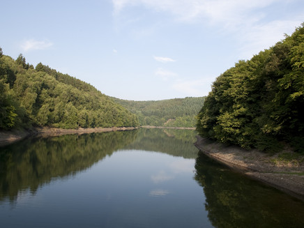
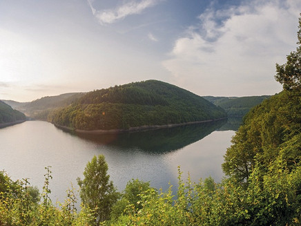
This route takes you around the Riveristalsperre, the drinking water reservoir of the city of Trier and the Ruwer municipality. The beautiful views along the water make this route stand out.
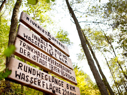
The drinking water dam, built in the Riveris valley, has been supplying the city of Trier with water from the Hochwald since 1958. The 50 m high dam is impressive, the maximum reservoir capacity is 5 million m³.
The 7.9 km long circular trail is extremely popular with hikers, cyclists or joggers. On well-surfaced paths, you can enjoy beautiful views over the dam to the wooded slopes of the Hochwald. On the information boards of the Trier public utility company, you can learn interesting facts about the dam and the drinking water supply in the region.
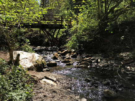
From the car park, the path leads past the water treading pool and a small barefoot path. The place invites you to linger and here it is even possible to cool your feet in the Riveris.
Impressions
General information
Directions
No matter in which direction you want to walk around the lake, it is always uphill first! But the effort is worth it, because after a short, quite steep climb, you reach the impressive dam wall and now also understand why there is such an incline.
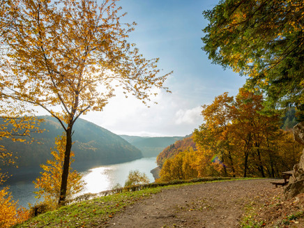
If you decide to start on the eastern side, the ascent is on the paved section up to the dam wall. From there, the trail continues without any major inclines along the dam until it reaches the confluence of the Thielenbach. The route continues along the larger arm of the dam to the confluence of the Riveris and further back towards the dam wall. Shortly before you have circled the dam once, you should take a rest on the beautiful, large bench at the lake view and direct your gaze to the confluence of the two arms.
Safety Guidelines
In principle, entering the forest and walking on the hiking trails is at your own risk.
Depending on the season and the weather, increased surefootedness is required on some sections of the trail. Therefore, wear clothing appropriate to the season and the weather and hiking boots with an appropriate tread.
You are in the drinking water protection area of the Riveristalsperre. Please take note of the relevant information.
Equipment
Sturdy shoes, sufficient food.
Tip
Pause at the large bench at the lake view shortly before reaching the dam wall again and enjoy the panoramic view! Plan your rest here!
Getting there
From Riveris, walk through the village in the direction of the Riveris dam until you reach the car park below the dam wall on the right-hand side.
Parking
Parking in the car park is free of charge.
Public transit
Take line 30 from Trier to Riveris. From the village, the dam can be reached after approx. 2 km.
Maps
Wanderkarte "Erholungsgebiet Hochwald und Ruwertal" erhältlich in den Touristinformationen Ruwer, Hermeskeil und Kell am See
Additional Information
A guided tour at the Riveristalsperre is offered by the Stadtwerke Trier and can be booked on request.
Pavings
- Crushed Rock (89%)
- Hiking Trail (11%)
Weather

This tour is presented by: Mosel. Faszination Urlaub, Author: Touristinformation Ruwer
