Zeller Land mountain bike route via St. Aldegund and Alf
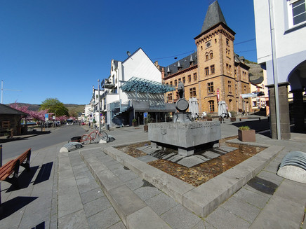
- start: Marktplatz, "Zeller Schwarze Katz" fountain, D-56856 Zell (Mosel)
- destination: Marktplatz, "Zeller Schwarze Katz" fountain, D-56856 Zell (Mosel)
- difficult
- 28,88 km
- 3 hours
- 550 m
- 365 m
- 91 m
- 80 / 100
- 80 / 100
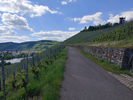
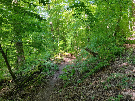
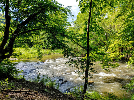
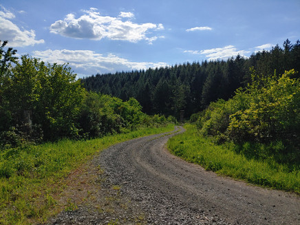
sporty route through forests and vineyards downstream along the Mosel to St. Aldegund in the Zellerland
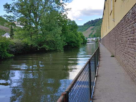
Enjoy the ride through forest and vineyards and the romantic Mosel towns Zell (Mosel), Bullay, Alf and St. Aldegund. As a highlight, we recommend a detour to the 236 m high Prinzenkopfturm - with magnificent views of the Eifel and Hunsrück and the narrow Mosel loop with the towns of Pünderich, Zell (Mosel) and Bullay.
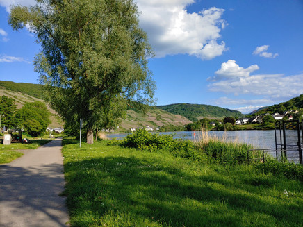
Impressions
General information
Directions
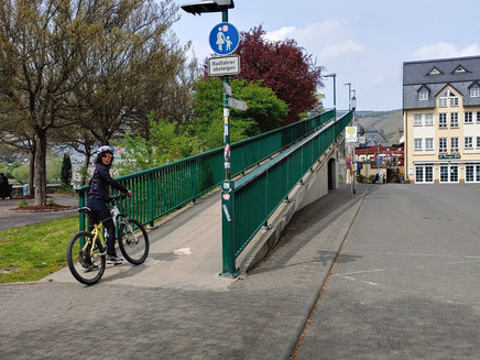
Start: Markplatz, Zell (Mosel) - keep right and cross the pedestrian bridge - turn right at the end and go through the Kaimt district up to the federal road.
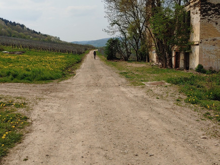
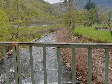
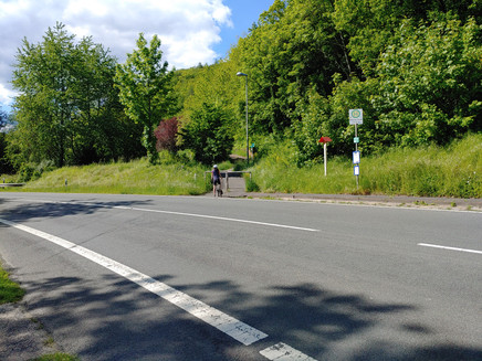
After a few meters, cross the road to the left to the vineyard path towards Marienburg. At the Marienburg saddle, go down to the left, after about 150 m go up toward Prinzenkopf. Pass the Drieschütte towards Dünnwaldhütte. Easy trails down to the Alfbach towards Alf-Fabrik. Then up to Solligberg, after a few hundred meters turn right towards Aldegund, keep going through vineyards until midtown, then left uphill climb towards Rowlingplatz. Continue up to Solligberg, then left in the direction of the forest descent over wide paths back to Alf-Fabrik. Afterwards, past the Alfbach to Alf, then follow the federal road over the double bridge towards Bullay – continue either via the road or bike path via Merl to Zell (Mosel).
Safety Guidelines
The route is not specifically marked.
Equipment
Bike equipment required
Tip
Stopover at the Prinzenkopfturm with views of the narrow Mosel loop.
Getting there
Cross over the B53 to the opposite Mosel side (via the Bullay double-deck bridge or the Zell-Kaimt road bridge). Then straight on to the marketplace (Town Hall, Balduinstr. 44, D-56856 Zell (Mosel).
Parking
Parking options along the Mosel promenade Zell (Mosel) - paid
Free parking options in the streets "Brandenburg" and "Am Bahnhof"
Public transit
by train to Bullay - route can be started from Bullay
Maps
Hiking map Zellerland
ISBN 978-3-944620-12-1
Available at Zeller Land Tourismus GmbH, Balduinstr. 44, D-56856 Zell (Mosel), Tel. +49 6542 9622-0, info@zellerland.de, www.zellerland.de
Weather
This tour is presented by: Zeller Land Tourismus GmbH
