VineyardDiversity - Lieser circular route
- start: Moselstraße in Lieser, Dammtor
- destination: Moselstraße in Lieser, Dammtor
- easy
- 3,56 km
- 1 hour
- 85 m
- 192 m
- 109 m
- 100 / 100
- 20 / 100
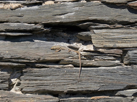
Circular hike, passing dry stone walls, rocks, vines, and more. Turlie the kestrel takes hikers through his habitat, the Lieser vineyards.
On the new circular hike through the vineyards of the Moselle village Lieser, hikers have a constant companion, Turlie the kestrel. Variety on the route is provided by quizzes, tasks, and great photo and film material. The wine village Lieser lies on the Middle Moselle, near Bernkastel-Kues. The holiday village has a long tradition in viticulture. The hike playfully reflects this.
Impressions
General information
Directions
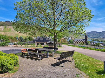
The family hike starts at Lieserer Dammtor with a starting board on the village side. Important information and the hiking map are again displayed on the board. For families with children, quiz cards for playful knowledge transfer are attached in the flyer holder; if none are available, reserves can be found at the tourist information office. Small signposts with the mascot "Turlie" the kestrel show you the way. The route then leads over the flood protection dam past Lieser Castle, where you must cross the main road, and at the intersection towards Maring-Noviand, the circular route takes you into the Lieser vineyard site Rosenlay. Along a tall dry stone wall, with views to the right of the vineyards and to the left of the Moselle, the path ascends into the vineyards. After climbing the hill for some meters and engaging with various panels, a first rest area follows with a bench and a "vineyard diverse" selfie wall. Refreshed, you then proceed straight back towards the village of Lieser, past a slate rock, which also represents an important habitat in the wine cultural landscape; this path is lightly gravelled. At the edge of the village, a sweet chestnut tree with seating and another information panel awaits. Going uphill again, you pass the houses on the right and the vineyards on the left up to the forest edge. Further knowledge is available along the way. After passing the small forest section, the path leads again entirely through the vineyards. The highest point is reached. Now, on the way down, further panels, green pathway tips, and additional seating invite you to enjoy the breathtaking view of the Moselle landscape. At the last panel, no. 14, children who took part in the quiz receive their solution and a small surprise. The path then leads downhill again, past the rest area with the selfie wall and the dry stone wall. At the main road, it continues back toward Lieser Castle, the main road is crossed again, and the return path can be completed over the flood protection dam.
Safety Guidelines
No special notes
Equipment
"Normal" clothing is sufficient.
Tip
Allow time for photography – because of the beautiful views.
Getting there
In Bernkastel, cross the bridge to Kues, take a left at the roundabout. Continue straight, following the L47 along the Moselle. Lieser is reached in about 3 kilometers.
Parking
Parking on the Moselle riverbank in Lieser.
Public transit
www.vrt-info.de, www.bahn.de
Bernkastel-Kues: Taxi Edringer: 06531 - 8149, Taxi Priwitzer: 06531 - 96970, Taxi Reitz: 06531 - 6455
Additional Information
Year-round hiking – especially beautiful in summer
Pavings
- Crushed Rock (45%)
- Street (11%)
- Path (9%)
- Asphalt Coating (23%)
- Hiking Trail (11%)
Weather

This tour is presented by: Ferienland Bernkastel-Kues, Author: Claus Conrad
