Mountain bike Mosel height tour via Zell (Mosel) and Bullay
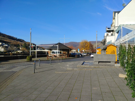
- start: Market Square, "Zeller Schwarze Katz" fountain, D-56856 Zell (Mosel)
- destination: Market Square, "Zeller Schwarze Katz" fountain, D-56856 Zell (Mosel)
- difficult
- 46,47 km
- 6 hours
- 1419 m
- 434 m
- 92 m
- 80 / 100
- 80 / 100
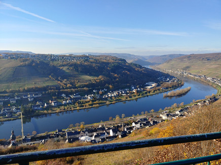
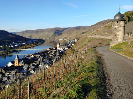
Repeated beautiful views of the Mosel valley, alternating attractively with wide Hunsrück heights in the Zellerland.
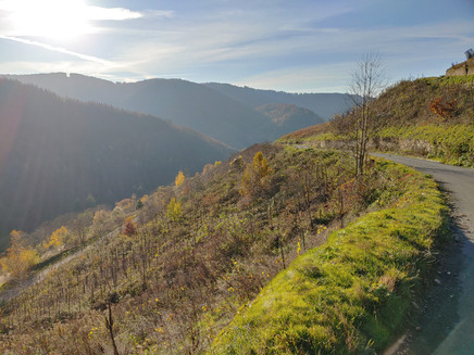
Challenging MTB route with climbs from the Mosel towards the Hunsrück alternating with beautiful descents through Mosel valleys. The technical difficulty is average and no problem for somewhat trained bikers with a passion for altitude gain (1430m). Also ideal for e-bikes.
Impressions
General information
Directions
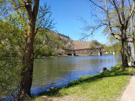
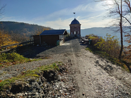
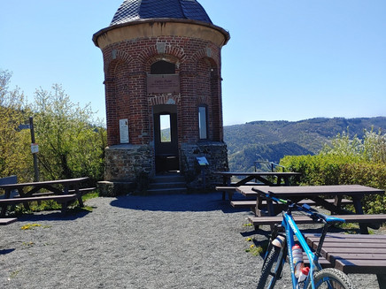
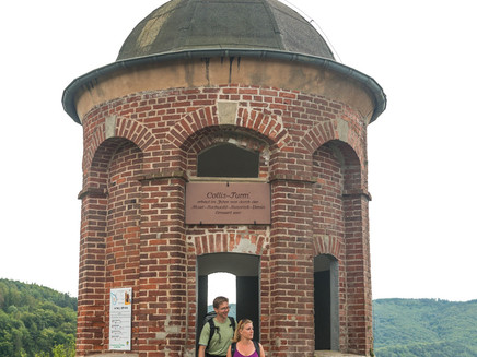
Start: Market Square, Zell (Mosel) - along the Mosel cycle path via Zell-Merl to Bullay. In Bullay, turn right before the bridge onto Neumerler Weg. Turn left at Brautrockstraße (main street) towards the train station - keep left and go through the underpass onto Bahnhofstr. - At Lindenplatz turn right onto Kirchstr. At the intersection keep right again - keep left on Graf-Beisel-Str. and turn onto "Im Tal" - keep straight ahead - after Bullayer Kreuz continue left and follow the path - turn left and descend through the forest - pass Ankerbach towards Zell-Merl - turn onto L199 and in Mühletal turn left into the forest towards Lönshöhe/Lönshütte - keep straight ahead until the Collis Tower - from there go uphill via the path towards Korayerberg - height 412 m - descend again along Zeller Bach towards Marienhöhe - continue through the forest to B412 - cross the road and descend through the Altlayer Bachtal - along L194 turn left and follow Altlayer Bach - turn right to K52 - along K52 towards Bummkopf - from there turn right towards "Schöne Aussicht" and back to Zell (Mosel). Turn left in "Notenau" and at the "Zeller Schwarze Katz" roundabout turn first right and back to the Market Square in Zell (Mosel).
Safety Guidelines
The route is not specially marked.
Equipment
Cycling equipment required
Tip
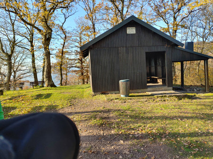
Refreshment station at Collis Tower, May to October, Saturdays and Sundays from 11:00 a.m. to 5:00 p.m. Also open when the blue flag is flying.
Zeller Land Tourismus GmbH
Balduinstr. 44
D-56856 Zell (Mosel),
Tel. +49 6542 9622-0
info@zellerland.de
www.zellerland.de
Getting there
Across B53 to the opposite Mosel side (via the double-deck bridge Bullay or the road bridge Zell-Kaimt). Then keep straight ahead until the town hall, Balduinstr. 44, 56856 Zell (Mosel)
Parking
Public parking along the Mosel promenade (paid)
Free parking available on the streets "Brandenburg" and "Am Bahnhof"
Public transit
By train to Bullay (route can start from Bullay)
Maps
Hiking map Zellerland
ISBN 978-3-944620-12-1
Available from Zeller Land Tourismus GmbH, Balduinstr. 44, D-56856 Zell (Mosel), Tel. +49 6542 9622-0, info@zellerland.de, www.zellerland.de
Weather
This tour is presented by: Zeller Land Tourismus GmbH
