Kletterweg Erdener Treppchen / Prälat - in Erden at the Moselle
- start: At the roman wine press in Erden/ roundabout at the bridgehead Lösnich
- destination: At the roman wine press in Erden
- medium
- 4,66 km
- 3 hours 15 minutes
- 322 m
- 349 m
- 102 m
- 80 / 100
- 60 / 100
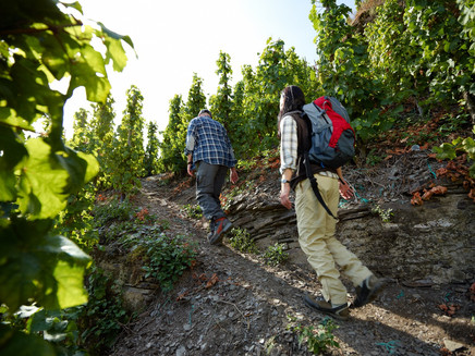
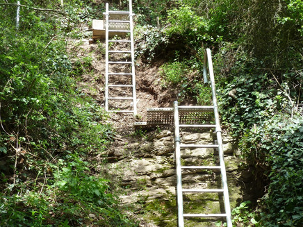
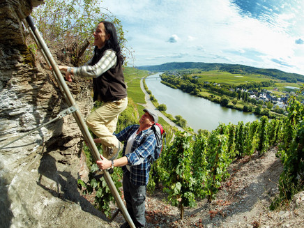
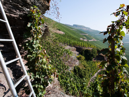
The climbing path is short, but it's got a lot to offer! The tour starts at the roman wine press and goes up steeply, ladders and steel ropes included. The way back is easier - via vineyard paths.
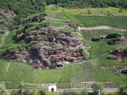
Climbing pleasure on the Moselle in the famous vineyard Erdener Treppchen.
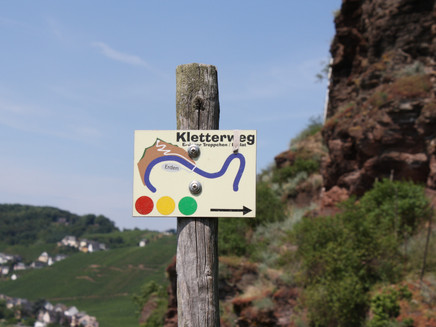
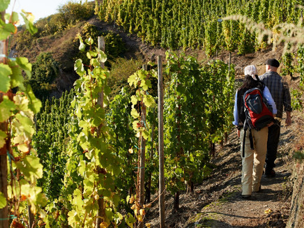
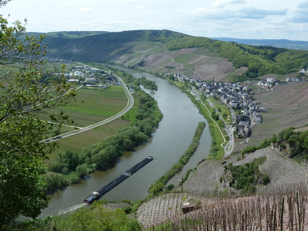
The "Erdener Kletterweg" is divided into three levels of difficulty. You can choose between the green (2.9 km), the yellow (3.8 km) or the red (4.3 km) route. The respective colours are signposted throughout. On all trails you have magnificent views over the Moselle valley, a colourful variety of flora and fauna as well as small climbing units on the more demanding routes.
Insights into the hiking tour:
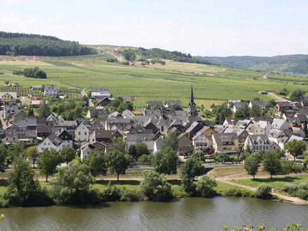
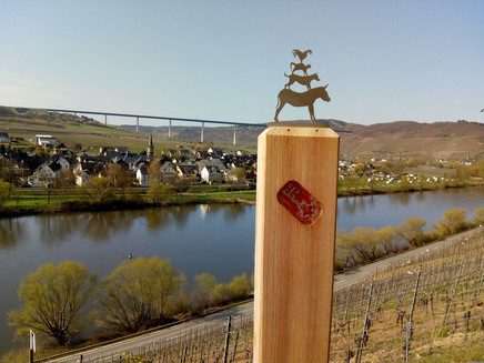
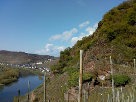
An "alpine" experience: the route of the climbing path leads through the top vineyards "Erdener Treppchen" and "Prälat". Old vineyard paths and ladders lead to rocky outcrops and vineyard terraces. The effort ist rewarded with magnificent views over the Moselle valley and a particularly colourful variety of flora and fauna. On the are benches and tables for resting. You can stop for a bite to eat afterwards in restaurants or inns (also winegrowers) in Erden.
Impressions
General information
Directions
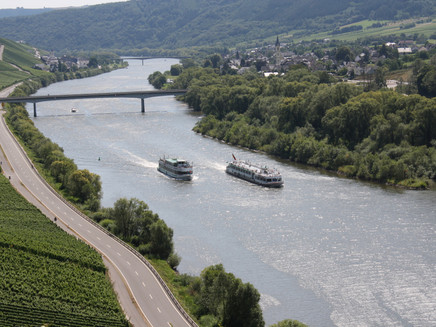
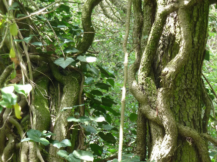
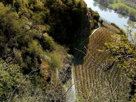
From the car park at the bridgehead in Lösnich, the path leads you across the Moselle and at the end of the bridge you turn left into the vineyards. You can walk the green, yellow or red route. The respective colours indicate the degree of difficulty and are signposted throughout. Behind the bridge, the signpost points to the vineyards, which you walk through slightly above the Moselle on the southern slope. To the right the wall becomes higher with every meter, to the left the vines continue to accompany you. The path ends in a cul-de-sac, where the via ferrata begins. Following the red dot, you have the following route description: You follow the stairs, which begin at the right vineyard and reach a narrow path. At first, the trail simply leads you along a railing and crosses the track of a monorail, the Monorackbahn. This railway is a special form of the monorail, which can also be called rack railway and is used especially in the steep slopes of the Moselle. The path leads you steeply uphill on loose slate rock. You cross the rail again before you have to hold on tight! The rungs of a metal ladder require a head for heights, shortly afterwards it is a bit easier to continue on concrete stairs. You overcome further vertical metres on slate ground and a new ladder installed in the rock. Once at the top, a cosy picnic area with sturdy wooden furniture invites you to take a breather. The view into the Mosel valley is overwhelming. You continue - following the signs - up a concrete staircase, which again ends in front of a high wall with steps. After climbing the rock face you walk around a rock in a right turn. The mountain offers a view of the Moselle loop and the wine village of Ürzig. Next to the track of the Monorackbahn the path leads you to a steep slate wall. A rope mounted on the rock serves as a railing. The steps carved into the rock are then replaced by ladders in a rock wall covered with ivy. This forest offers a magnificent flora and fauna. You should look at the trees for a moment and also look out for lizards. These can be seen here, as well as on the rest of the via ferrata, in great variety. From a bench in the forest you have a great view of the valley and the Moselle boat trip. Over the next few metres, the path is lined with high bushes. Past a rock face, you can read the many slate tablets engraved with the names of previous hikers. You pass a narrow and lonely metal gate and continue on a path surrounded by green thickets. A few steps and a new metal staircase will take you to the next level. Arrived at the summit you have finished the climbing tour and are now walking comfortably on a narrow forest path. The path takes you to the wooden refuge on the "Burgberg". The descent is much less strenuous, but you should walk it with caution. A narrow stream flows from the right, which you have to cross carefully. Only a few metres later, the dense forest gives you a view of the wine terrace above Erden. Another few steps await you. On the wide path through the vineyards you lose further metres in altitude, at the next fork on the right you pass vineyards and orchards. The signposts along the serpentines lead you back to the valley and back to the bridge.
Safety Guidelines
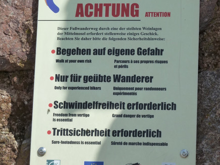
A good head for heights and sure footedness are necessary.
Equipment
Solid shoes are recommended
Tip
Plan time for a visit of the Roman wine press in Erden before the hike. It is located at the starting point of the hiking trail.
Getting there
Coming from Bernkastel, continue on the B53, past Graach on the Moselle, through Zeltingen. Cross the bridge, at the roundabout take the 3rd exit, direction: Kloster Machern, past Kloster Machern: Arrive at the roman wine press Erden.
Parking
Free parking at the Roman wine press Erden as well as at the roundabout at the bridge road in Lösnich
Public transit
Bernkastel-Kues: Taxi Edringer: (0049) 6531 - 8149, Taxi Priwitzer: (0049) 6531 - 96970, Taxi Reitz: (0049) 6531 - 6455
Literature
WanderGuide - Hiking guide for the Ferienland Bernkastel-Kues (in German).
Maps
WanderGuide - Hiking guide for the Ferienland Bernkastel-Kues (in German).
Additional Information
Ferienland Bernkastel-Kues
Gestade 6
54470 Bernkastel-Kues
Phone: (0049) 6531/50019-0
Tourist office Erden
Hauptstrasse 72
54492 Erden
Phone: (0049) 6532-2549
Pavings
- Asphalt Coating (25%)
- Crushed Rock (10%)
- Path (37%)
- Unknown (2%)
- Hiking Trail (26%)
Weather
This tour is presented by: Ferienland Bernkastel-Kues, Author: Lisa Willems

